
Douglasville ZIP Directory Coverage
Four codes appear in verified Douglasville records, but they do not all represent ordinary residential delivery polygons. This ZIP code directory treats each use according to the source. Codes 30134 and 30135 orient the city's two main delivery areas. The 30133 and 30154 evidence comes from official post-office-box addresses, so neither should be drawn as a residential neighborhood without fresh USPS confirmation.
| ZIP Code | Areas Covered | Post Office | Notes |
|---|---|---|---|
| 30134 | Downtown, civic, and north-central orientation | Douglasville delivery | Postal and city concepts cross |
| 30135 | Southern, Chapel Hill, and Fairburn Road orientation | Douglasville Post Office, 6000 Stewart Parkway | City spans 30134 and 30135 |
| 30133 | Official city and returned-mail boxes | PO-box use verified | Do not map as a residential polygon |
| 30154 | Douglasville boxes in official returned-mail records | PO-box use evidenced | USPS class not captured |
Downtown landmarks and the courthouse provide a useful 30134 orientation. The police and court area, Fowler Field, Boundary Waters, and the temporary library orient 30135. These are examples, not boundary markers. Always verify a specific address rather than assigning a ZIP from a nearby landmark.
Verify Douglasville ZIP Codes with USPS
The USPS ZIP Code Lookup has three modes: By Address, By City and State, and Cities by ZIP Code. City and state can identify candidates. The full street address gives the authoritative delivery code for one location.
| USPS mode | Input | Best use |
|---|---|---|
| By Address | Street, city, state | Confirm one delivery ZIP and ZIP+4 |
| By City and State | City and state | Find candidate codes |
| Cities by ZIP Code | Five-digit code | Check accepted postal city names |
The lookup screen is the best starting point for a Douglasville ZIP code directory search.
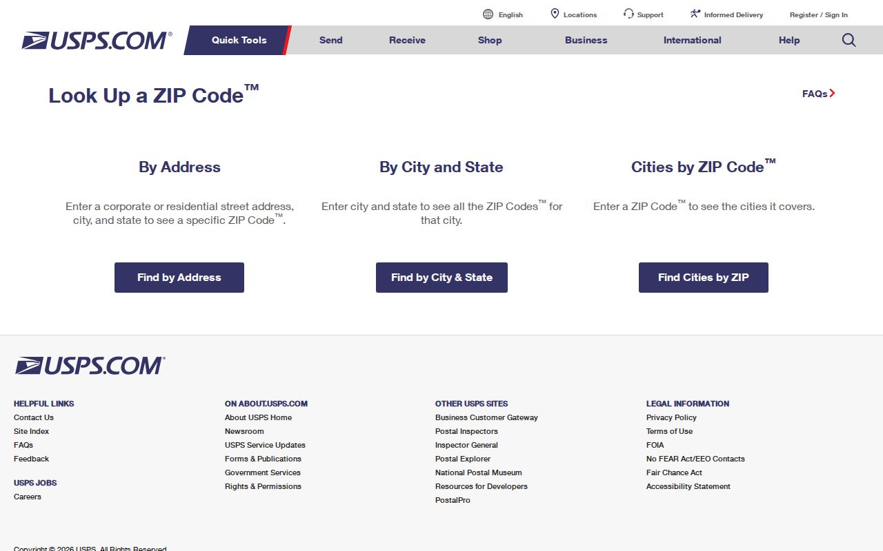
Use its exact-address result before filtering a parcel roll or requesting a geographic extract.
The Douglasville Post Office details confirm the Stewart Parkway facility.
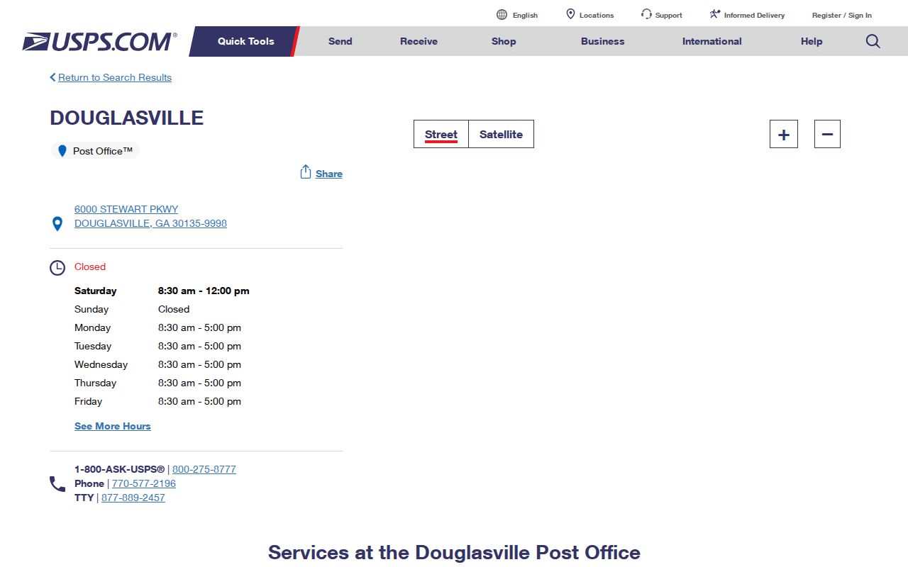
The facility record supports the 30135 post-office entry without defining the code's outer edge.
Find Douglasville Residents by ZIP
The city parcel layer exposes both situs and owner-mailing address parts, including ZIP fields. Situs means the parcel's physical location. Mailing means where tax correspondence goes. A ZIP-wide resident search must not merge them because an owner can receive mail elsewhere.
- Verify the exact delivery code with USPS, especially near a city or postal edge.
- Search Douglas County QPublic by the address or owner, then record the parcel and situs.
- Use the county GIS or city parcel layer to inspect situs ZIP, mailing ZIP, city code, and annexation year.
- For voter data, use the lawful request channel. My Voter Page is an individual identity-based tool, not a ZIP browse.
The ArcGIS query service can sort and page results, but its maximum response is 1,000 records. Narrow broad queries and validate jurisdiction. Once a ZIP points to a street, the Douglasville street directory carries the search to the parcel and deed level.
Douglasville ZIP Codes and ZCTAs
Census ZIP Code Tabulation Areas, or ZCTAs, are generalized block polygons made to publish statistics. They approximate ZIP geography. They are not USPS route boundaries, and they can model standard, unique, or PO-box-focused codes differently from live mail operations.
The Census geography and summary-file source supplies the right context for those statistical areas.
Use ZCTA data for broad counts and trends, never to decide the delivery code of one home.
Douglasville's 2025 estimate was 41,523, up 19.8 percent from its 2020 estimate base. That growth makes current, address-level checks more useful than old static ZIP maps. The figure is citywide, not a per-ZIP population count.
Douglasville PO Box ZIP Evidence
The 30133 evidence includes the city's official P.O. Box 219 and other returned-mail boxes. Official returned-mail records also contain Douglasville boxes using 30154. Those facts establish box use, but the inspected sources did not publish a current USPS classification for 30154.
A PO-box ZIP routes mail to boxes rather than describing a normal door-to-door residential area. A unique ZIP is assigned to one high-volume organization. Research did not establish that either Douglasville code is a unique ZIP. Keeping that distinction clear prevents the ZIP code directory from turning a mailing fact into a false neighborhood claim.
For any box, enter the exact address in USPS tools or contact the postal facility. Do not shade 30133 or 30154 as a residential polygon based on the official box examples alone.
Douglasville ZIP Geography Changed
Early Douglasville grew around the courthouse and east-west rail line. Later development shifted toward I-20 exits 34, 36, and 37, State Routes 5 and 92, Arbor Place, and Chapel Hill. That local pattern helps explain the broad downtown and southern orientations of 30134 and 30135 without claiming a hard boundary.
The official Douglasville history traces the city's rail origins.
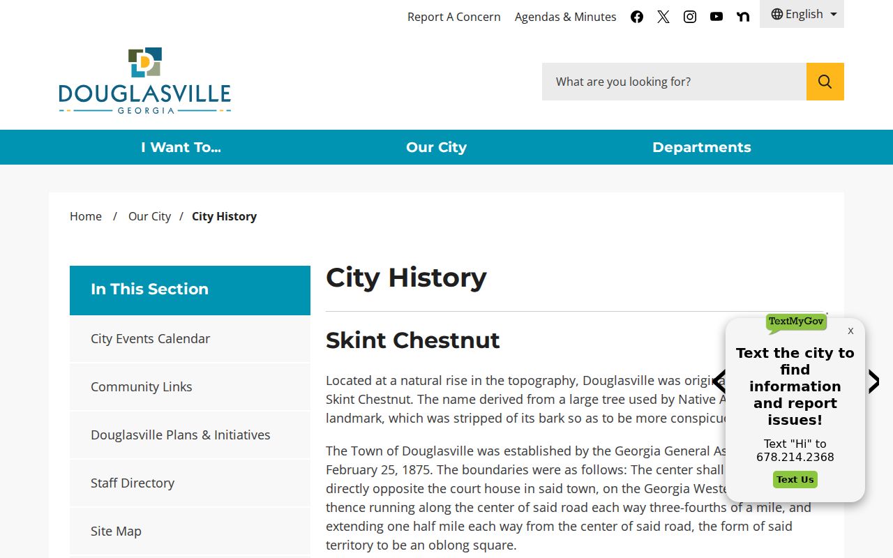
The history explains growth corridors; USPS remains the authority for the code assigned to a present address.
GIS and E-911 also completed a Bankhead Highway and U.S. 78 readdressing. The official source omits an exact completion year. Search address aliases, legal descriptions, old permits, and historic maps when an older number does not match today's parcel.
Read Douglasville ZIP Parcel Fields
A parcel identifier ties the mailing search back to land. Douglasville's official parcel layer includes PIN or parcel number, land lot, district, subdivision, phase, lot, address pieces, aliases, owner, legal description, values, zoning, neighborhood, tax district, mailing lines, and annexation year.
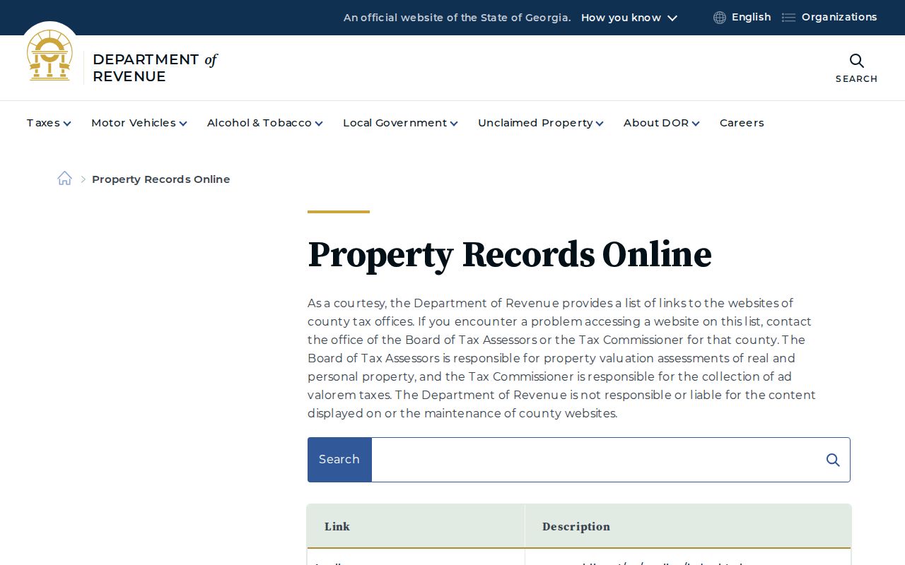
The Georgia property-record portals page confirms the county route.
Those parcel keys help separate two same-number streets or connect an alias after readdressing.
No county plain-language decoder for the parcel number was found. Record each component exactly and ask GIS at 770-920-7321 when the land-lot or district structure is unclear. E-911 directory questions can go to 770-949-6408.
Douglasville ZIP and City Limits
A Douglasville postal label does not prove a parcel is inside the city. County land beyond the incorporated boundary can still use Douglasville as its preferred mailing city. That changes which permits, council wards, Municipal Court matters, and city voter precincts apply.
Check the official city parcel layer's CAD_CITY and ANNEX_YEAR fields, then compare the city-limits map. The ZIP code answers a mail-routing question. The parcel and annexation records answer the jurisdiction question.
Keep the date and purpose of each boundary check. USPS can change delivery assignments, Douglasville can annex land, and county parcel data can update on a different cycle. For mail, retain the USPS exact-address result. For zoning or a city permit, retain the parcel identifier and municipal field. For census statistics, name the ZCTA and vintage instead of labeling it a postal boundary.
This layered method also helps with an address near 30134 or 30135 edges. First verify the current five-digit code, then locate the parcel, and only then select the correct public custodian. A ZIP code directory narrows the search area, but the parcel record determines land identity and the city layer determines Douglasville jurisdiction.
- ZIP vs ZIP+4
- The five-digit delivery area versus the more precise four-digit add-on for a route segment.
- PO-box ZIP
- A code used mainly or solely for post-office boxes, not a residential polygon.
- Unique ZIP
- A code assigned to one high-volume institution rather than a broad area.
- Carrier route
- The path or group of addresses served by one postal delivery route.
Boundary check. Confirm city jurisdiction from the official parcel and city-limit records, never from the words Douglasville, GA in a mailing address.