
Douglasville Neighbors Across Public Rolls
Block research is strongest when each source answers a narrow question. The parcel viewer shows the shape and location of nearby land. The tax roll gives a current owner and separates the parcel's physical, or situs, address from the owner's mailing address. Voter information follows election law and privacy controls. Permit reports describe work at an address. None is a complete roster of your neighbors.
| Source | What It Shows About a Block | Access |
|---|---|---|
| GIS adjacent parcels | Parcel boundaries, owner data, zoning and tax geography | Free map click and browse |
| Douglas County QPublic | Parcel card, owner, mailing and situs distinction | Free current roll |
| Requested voter file | Lawful elector-list geography where supplied | Written order and payment; protections apply |
| City permit reports | Address-keyed improvement activity | Monthly PDFs, 2022 through July 2026 verified |
| HOA common parcels | An association entity named as owner of shared land | GIS plus state entity search |
| Community links | Official or civic organizations, not private members | City pages and direct inquiry |
An owner name is evidence of title on the roll's date. It may represent an absentee owner, estate, company, or association. A homestead flag and matching mailing and situs addresses can support the idea that an owner occupies the property, but they do not identify every household member. Cross-check the parcel card rather than copying a clipped map label.
Douglasville Owners Are Not Households
The city parcel layer carries owner, address components, legal description, values, acreage, deed data, zoning, future land use, neighborhood, tax district, mailing lines, annexation year, homestead, and suppression fields. That rich record can tempt a reader to overstate what it proves. The owner field does not name renters, children, roommates, guests, or every adult at the site.
Mailing and situs fields serve different functions. The first routes owner correspondence; the second locates the land. An out-of-state mailing address may identify an absentee owner, but it says nothing certain about who occupies the Douglasville parcel today.
Note: Date each parcel result because deeds, exemptions, mailing addresses, and ownership can change.
Map Douglasville Neighbors by Parcel
Open the Douglas County Interactive Property Information viewer and locate one known address. The safe method is a controlled walk across the visible parcel polygons. Although the underlying service supports geometry and distance queries, the exact public buffer or measurement buttons were not verified. Do not promise a one-click radius search.
- Search the subject address and zoom until the parcel edges are clear.
- Select the subject parcel and copy its PIN and situs address.
- Click each touching or nearby polygon separately. Record its PIN, situs, and owner fields.
- Open the matching QPublic card to check the owner label and mailing-situs distinction.
- Stop at the intended block. Narrow long roads because the service caps a response at 1,000 records.
This process creates a land-and-owner sketch, not a social network. For an entire named road and its deed trail, use the Douglasville street directory workflow.
Read Douglasville Neighbors Parcel Clues
Douglas County QPublic accepts owner name, location address, parcel number, and legal-description searches. A parcel card may show the owner, both address types, assessed and market values, acreage, tax district, exemptions, sales facts, building details, sketch, and map link.
- Parcel
- A mapped unit of land identified by a county PIN or parcel number.
- Situs address
- The physical address assigned to the land or building.
- Mailing address
- The destination for owner correspondence, which may be elsewhere.
- Homestead field
- A tax clue that can support owner occupancy but does not list a household.
Use the legal description and PIN to resolve near-identical street numbers or clipped map text. Verify sale and deed fields against the Superior Court Clerk's recorded instrument before making a title claim.
Douglasville Neighbors and Voter Data
Georgia's individual My Voter Page requires identity inputs and is not a browse-by-street directory. A separate official voter-file order can request county, municipality, district, or precinct data, with active-only or active-and-inactive options. Production is normally stated as one to two weeks after payment, but a current fee should be confirmed.
The voter list can include names, residence addresses, registration status, districts, precinct, and elections in which a person voted. It does not reveal candidate choice, and Georgia does not register voters by political party. Telephone number, full date of birth, Social Security number, and driver's-license number are excluded.
The Douglas County Elections and Voter Registration office is shown in the successful capture below and is the local custodian for county and Douglasville municipal voters.
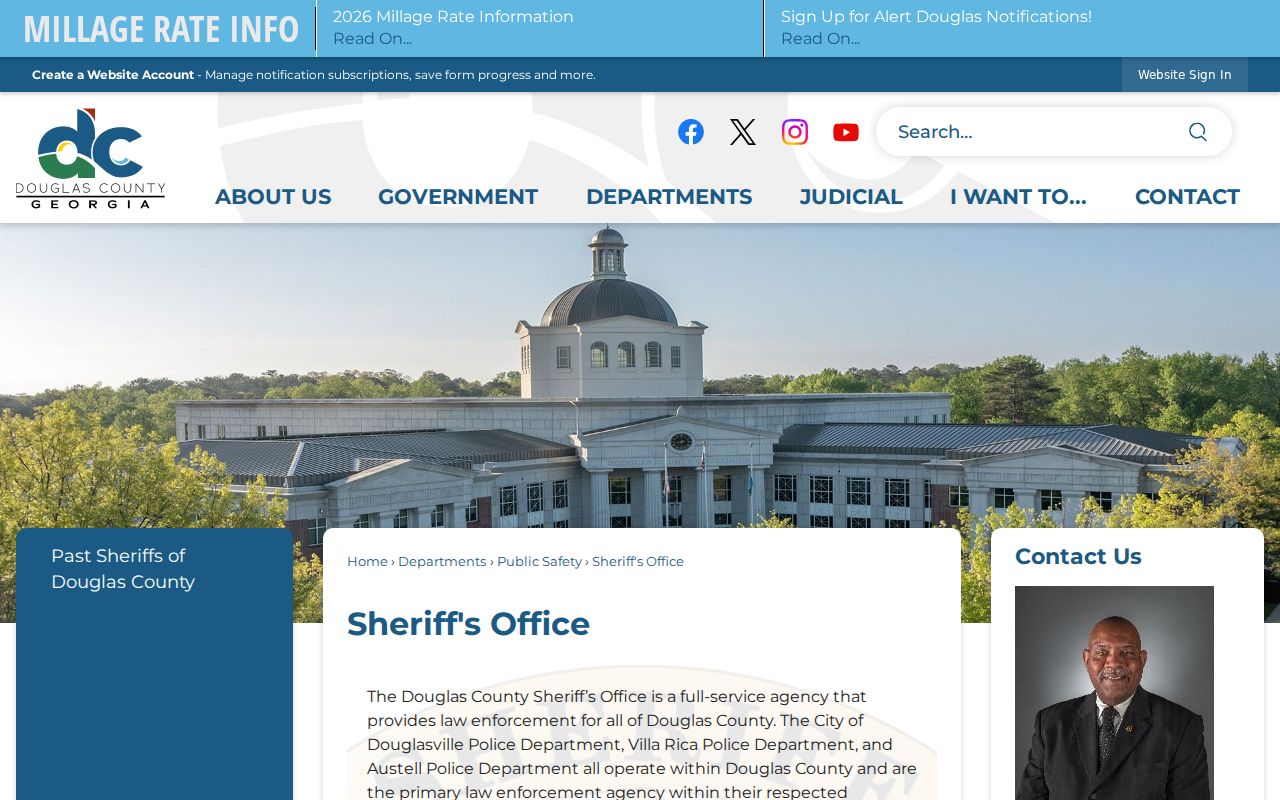
Commercial use of elector lists is prohibited. A requested file must also exclude VoteSafe-protected information.
Douglasville HOA Parcels, Not Rosters
The county's returned-mail roll names common-property owners including Chapel Village Homeowners, Crystal Creek Homeowners, Ivey Green Owners Association, and Falls at Mason Creek Homeowners. These are useful block clues because an association may hold an entrance, green, or other shared parcel.
| Record clue | What it can establish | What it cannot establish |
|---|---|---|
| Association as parcel owner | The named entity holds common land on that roll | Who belongs to the association |
| Georgia entity status | Legal name, status, agent, and filing history | A current household roster |
| City community link | A public civic contact or program | Private member names |
No official umbrella association inventory, public membership directory, congregation roster, or block-watch roster was found. Do not fill that gap by inferring members from addresses.
Douglasville Neighbors and Nearby Permits
Douglasville publishes monthly Building Department permit reports as dated PDFs rather than through a verified interactive permit search. The inspected index covers reports from 2022 through July 2026. Rows can provide an address, project or permit details, and applicant, contractor, or owner clues.
A permit gives property context. It can explain noise, excavation, exterior work, or a recent addition near the block. It is not a conveyance and does not identify every resident. First confirm that the parcel lies within city limits, since a Douglasville mailing label alone does not establish city jurisdiction.
Official Douglasville Neighbor Records
Commercial neighbor tools often merge scraped address histories, phone data, and old profiles without showing the record date. Official rolls are narrower, yet they name the keeper, field meanings, and correction path. For a block check, trace each fact to the public office that created it.
| Source type | Strength | Limit |
|---|---|---|
| County parcel and tax rolls | Dated ownership and land fields from the custodian | Not a household directory |
| Election records | Lawful registration and geographic data | Protected voters and private fields stay closed |
| Commercial compiled tools | May combine many sources quickly | Dates, provenance, and corrections may be unclear |
Use compiled leads only to locate an official record. Never treat an unsupported profile as proof that someone lives next door.
Douglasville City Records by Request
The Douglasville City Clerk manages city agreements, contracts, minutes, ordinances, resolutions, charter records, and open-record requests. The successful source capture below points to the custodian for city-created material tied to a block.
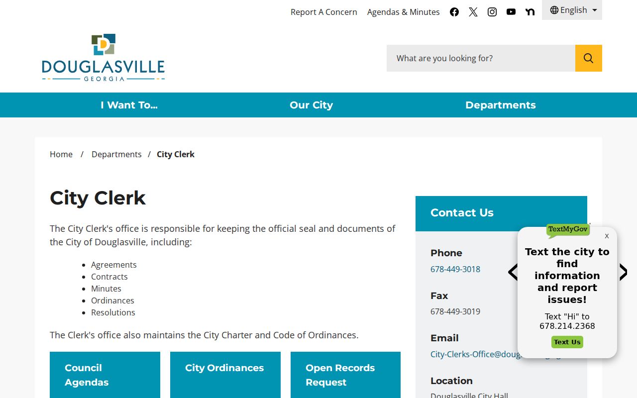
For an unpublished permit file, council packet, or city department record, submit a focused request with the address, date range, and record type. A precise request avoids asking staff to create a new roster.
Request Douglasville Block Records
The Georgia Attorney General's request guide, shown below, explains how to identify the public office and describe existing records. Georgia's Open Records Act generally calls for a response within three business days, not guaranteed production within that span.
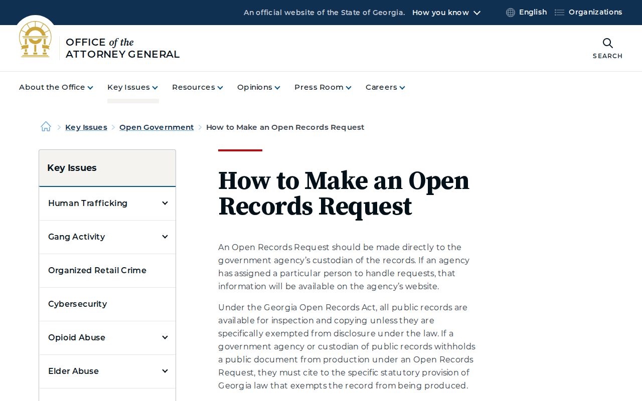
The companion open-government questions page appears in the second successful capture. It covers response timing, fees, and redaction principles.
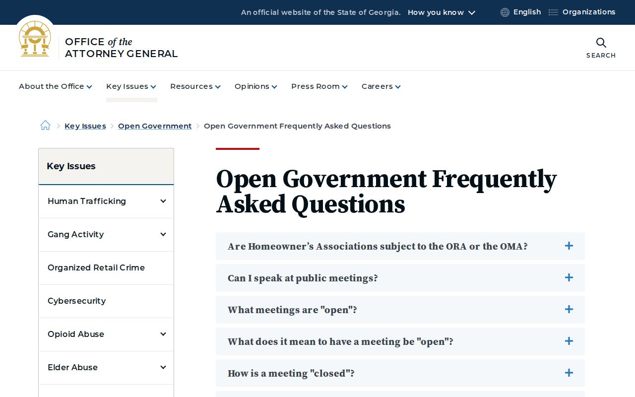
The first fifteen minutes of qualifying staff search and retrieval time are free; permitted labor and copy charges may follow. Protected fields are redacted rather than turned into a neighborhood list.
Protect Douglasville Neighbors' Privacy
Property records enumerate parcels and owners, not renters or household members. Utility, delivery, and customer data is not an open household directory. Federal law controls motor-vehicle address data. Georgia law also requires redaction of specified personal and financial identifiers.
VoteSafe protects the address information of qualifying registered voters under a protective or restraining order or living in a family-violence shelter. Parcel data can also carry a suppression field. Never try to rebuild information that an official system has withheld.
Lawful use. Check public block records for civic curiosity, property context, or personal safety. Do not watch, harass, intimidate, or harm your neighbors.