
Walk a Douglasville Street
A sound by-address search follows the records in a fixed order. Start with the parcel because its PIN, or parcel identification number, links the street label to a legal tract. The owner shown on the current assessment roll is a lead, not proof of everyone at the home. Carry the exact parcel details forward so a shared surname or reused number does not pull the search onto the wrong land.
- Enter the location in the Douglas County QPublic property search. Save the situs address, owner, PIN, legal description, and deed reference.
- Open the county parcel viewer. Click the subject parcel and nearby lots to see the street in context.
- Check owner mailing and homestead fields, but treat both as clues. Neither is a list of occupants.
- Use the owner and deed reference in the county clerk or statewide deed index. Match the legal description.
- For past occupancy, ask the library about reverse directories and compare a confirmed volume with census, newspaper, and deed evidence.
This chain makes the Douglasville street directory useful without overstating it. A parcel identifies land. A deed identifies parties to a recorded instrument. Occupancy needs separate proof.
Search Douglasville Streets by Parcel
QPublic supports owner, location address, parcel number, and legal-description searches. Street fragments can broaden a search when suffixes or spelling vary. Long roads may return too many parcels, so add a number range or use the map. The city ArcGIS layer also supports address queries, but its response limit means a narrow query is safer than trying to retrieve a whole corridor.
| Search field | Input | Best use | Limit |
|---|---|---|---|
| Owner Name | Surname or entity fragment | Find parcels tied to an owner | Does not prove residence |
| Location Address | Number or street fragment | Build a by-street result set | Aliases may differ |
| Parcel Number | County PIN | Return to one tract | Not a plain address |
| Legal Description | Subdivision or lot text | Match map and deed | May be abbreviated |
A card may show acreage, value, tax district, exemptions, sale data, a sketch, and building traits. Those fields describe taxable property. Confirm deed facts against the recorded instrument.
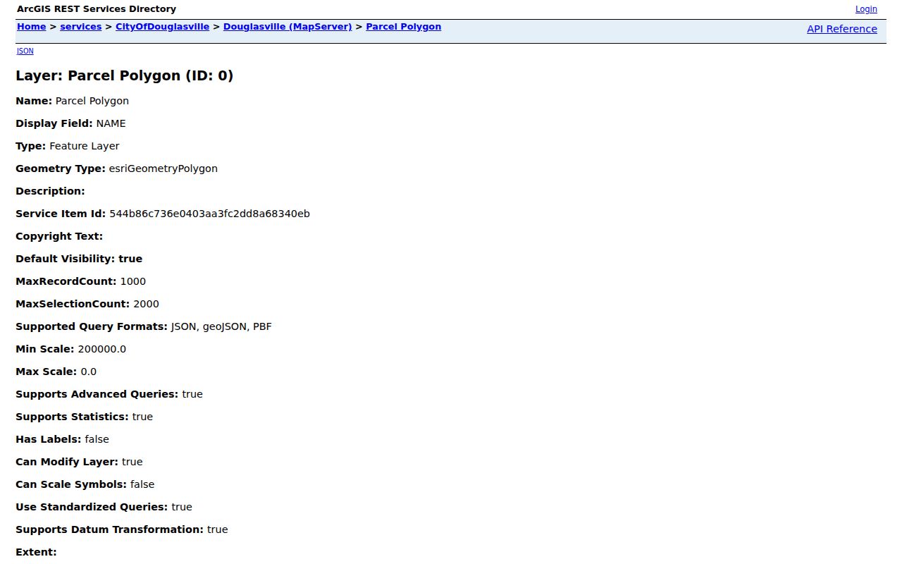
The official Douglasville parcel layer shows the query fields.
Douglasville Street Address Terms
Three addresses can appear around one parcel, and they mean different things. The situs is the physical location. The mailing address is where the assessor sends owner correspondence. A legal description identifies the land through recorded survey language, subdivision lots, land lots, or plats. Keeping those fields apart prevents a remote owner's mail address from being reported as a current household.
- Parcel
- A mapped tract with its own county identifier.
- Situs address
- The physical address assigned to the property.
- Plat
- A recorded map showing lots, boundaries, or easements.
- Criss-cross directory
- A directory arranged by street and house number.
An identical situs and mailing address, paired with a homestead indicator, may support owner occupancy. It still does not name all people at the address. A different mailing address may point to an absent owner, estate, business, or another mail choice.
Douglasville Records Listed by Street
No single public roll supplies a complete street directory. Address-keyed sources answer different questions about Douglasville land, recorded owners, improvements, and civic geography. Online tools are the fastest start. The courthouse, city office, library, and a focused request remain vital when an image, old book, or city file is absent online.
| Address source | Custodian | What it establishes | Access |
|---|---|---|---|
| Assessment roll | Board of Tax Assessors | Owner, PIN, situs, mail, values | QPublic or counter |
| Parcel GIS | County and city GIS | Shape, aliases, zoning, annexation | Viewer or layer query |
| Deeds and plats | Superior Court Clerk | Parties, legal description, book/page | Index or courthouse |
| Permit reports | Building Division | Permit, project, address, applicant | Monthly PDFs or request |
| Elector file | Elections officials | Lawfully released voter geography | Written paid order |
| Historic sources | Libraries and archives | Old labels, structures, directory entries | Digital or reading room |
Use each record for its stated role. A permit applicant need not be an occupant, and a deed party need not remain at the site today.
Map Douglasville Streets and Limits
A Douglasville postal label does not prove that a property lies inside the city. County land beyond the municipal line can use the same postal city. That difference controls zoning, municipal permits, city court, and local election records. The city layer includes CAD_CITY and ANNEX_YEAR, while the parcel viewer supplies nearby-tract context.
The official Douglasville city limits map is the direct jurisdiction check.
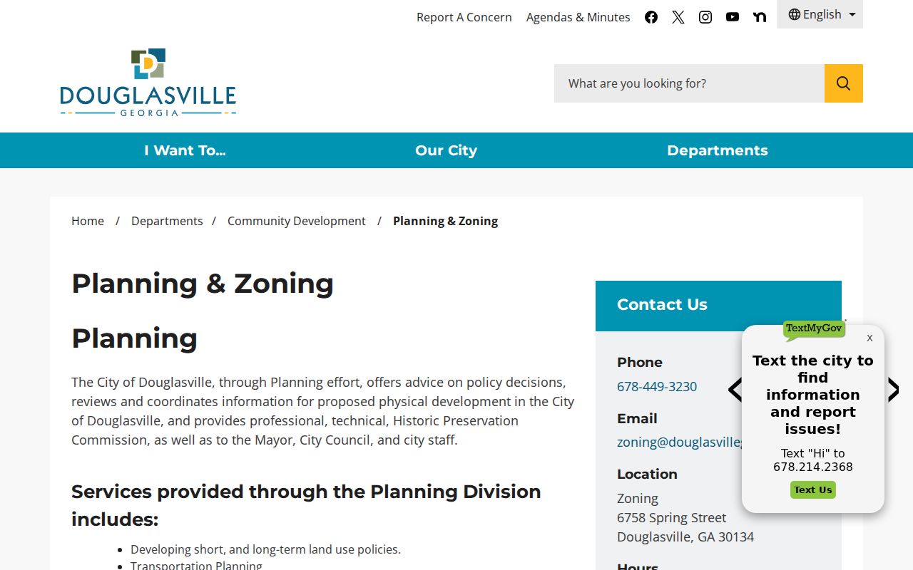
The Douglasville Planning and Zoning gateway connects incorporated parcels to zoning and land-use material.
Follow Douglasville Streets into Deeds
The parcel roll points to the recorded chain, but the deed controls. Search the current owner as a grantee around the deed date. Compare the land lot, district, subdivision lot, and legal description. Open the instrument to identify the grantor, recorded date, and prior-deed recital. Search that grantor as an earlier grantee to move back.
The GSCCCA real-estate index is safely documented statewide from at least 1999. Images may require an account or payment. Douglas County clerk originals begin in 1871, so older or unscanned links belong at the records counter at 8700 Hospital Drive. The clerk supplies certified copies; confirm current charges before ordering.
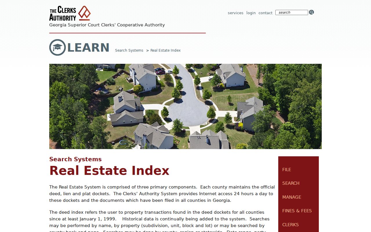
The official real-estate search guide explains the index.
In 2024, the clerk processed 30,047 real-estate, lien, plat, and UCC instruments, 2,296 more than in 2023. That volume makes legal-description matching safer than relying on a common name.
Douglasville Street Permit Slices
The Building Division publishes monthly permit reports, with verified slices from 2022 through July 2026. These PDFs are not one interactive search system. Search one month at a time for an address, project, or applicant, and save the report date. A missing hit may mean the work predates the run, used another street form, or belongs to the county.
Planning files can add owner, representative, parcel, proposed use, and hearing details. For unpublished city material, send a narrow request through the City Clerk's Public Records Center, or contact the department by phone, email, or counter. State the date range and exact address. The Georgia Open Records Act requires a timely response, not instant production.
Note: Permit and planning names identify record participants, not a full list of people who occupied the site.
Bridge Renamed Douglasville Streets
Douglas County reported that GIS and E-911 completed a Bankhead Highway and U.S. 78 readdressing, but the inspected source gave no exact completion year. A changed number can make one property look like two. A missing old-address result does not show that a household moved.
Start with the present parcel and inspect address aliases. Match the legal description and lot instead of the number alone. Compare historic permits, deed recitals, and old maps. The five verified Douglasville Sanborn editions, dated 1895, 1900, 1905, 1911, and 1923, can show downtown street labels and footprints. They show structures, not occupants.
For historical shelf research, use the Douglasville city directory collections and ask which reverse or telephone books are actually held. Local reverse-directory years were not verified.
Voter Rolls Are Not Street Directories
Georgia My Voter Page requires a first initial, last name, county, and date of birth. It returns an individual registration view, districts, polling details, and election material. It cannot browse a whole Douglasville street. Public elector-list access follows a separate written-order process that can specify county, municipality, district, or precinct.
The ordered file excludes phone numbers, full dates of birth, Social Security numbers, and driver's-license numbers. VoteSafe records are confidential. Georgia prohibits commercial use of elector lists. Participation history can show elections voted, never ballot choice, and Georgia does not register voters by party.
Note: Never rebuild a protected address from parcel, voter, or map clues that an official source has suppressed.
Douglasville Street Directory Limits
Property tools enumerate parcels and owners. They do not provide a public roster of renters, family members, guests, or every mail recipient. Utility and delivery customer lists are not open household directories. Driver address data is federally controlled. Some voter addresses and parcel fields are suppressed for safety.
Commercial search products may blend stale filings and copied data without showing source dates. Official records are narrower, but reveal the custodian and purpose. Compare two sources, save each result date, and verify key facts with the office holding the original.
A street directory can establish a trail from address to parcel, owner, deed, and public city file. It cannot turn those facts into a claim about every current resident.